I-10 Interstate Improvements
Franklin assists the Louisiana Department of Transportation and Development (LADOTD) on its costliest, most complex project in state history.
Franklin assists the Louisiana Department of Transportation and Development (LADOTD) on its costliest, most complex project in state history.
The project passes through a constrained urban area with no alternate interstate bypass route available. In 2011, LADOTD initiated efforts to determine whether widening Interstate 10 in Baton Rouge was a feasible approach to mitigating some of the region’s traffic issues. As the public engagement lead, Franklin began an outreach campaign targeting area residents and businesses, as well as commuters and out-of-state travelers.
Over 12K responses were received through an online survey. Franklin’s team continues to spearhead all public and stakeholder engagement planning, delivery, and documentation for the widening of I-10 through Baton Rouge through several phases: Stage 0 Feasibility, Stage 1 Environmental Assessment, and the current design/build stage.
Throughout these planning and implementation efforts, Franklin’s team has developed and deployed comprehensive public engagement efforts as the project:
- Underwent a feasibility study
- Underwent an environmental assessment study
- Received a finding of no significant impact from the Federal Highway Administration in February 2021 at the end of the environmental process
- Is now in its design/build stages for various segments within the inner Baton Rouge corridor of the interstate. The I-10 widening aims to improve safety and reduce congestion through the metropolitan region, extending from LA 415 in West Baton Rouge Parish to Essen Lane at I-10 and I-12 in East Baton Rouge Parish. The first segment of construction on this project began in early 2023 while additional portions are moving forward in design at this time.
The project will include:
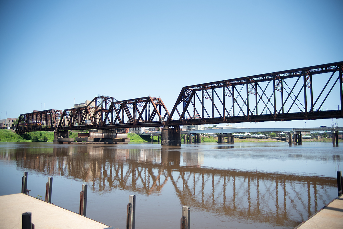
- An additional through-lane in both directions, resulting in four lanes each way throughout the project area except for the Mississippi River Bridge itself
- Replacement of the City Park Lake bridge with a signature structure
- Permanent widening of the I-10 westbound flyover curve at I-110 towards the Mississippi River Bridge
- Upgrading of antiquated interchanges along the corridor.
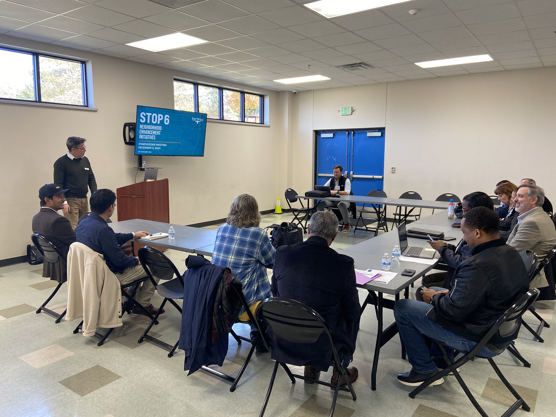
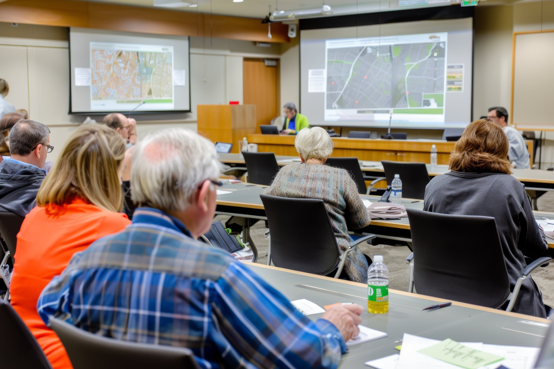
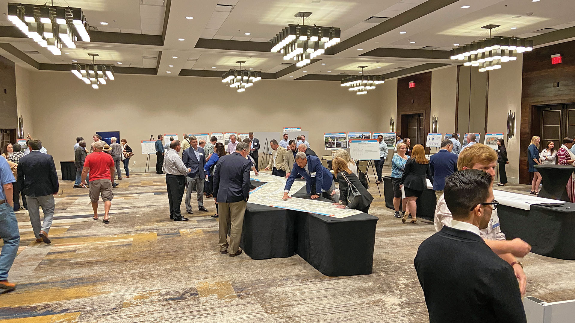
As the engagement lead, Franklin assisted in the design and deployment of public input surveys including map-based polling; developed and implemented use of in-person and digital input mechanisms; and coordinated data trending and logistics for all engagement activities during the planning, environmental, and design phases. Franklin has deployed multiple and diverse surveys, dozens of stakeholder briefings, focus group meetings, public meetings, and public hearings that complied with state and federal requirements. The project has required development and refinement of context-sensitive solutions which include streetscape amenities within the interstate right-of-way which benefit adjoining communities.
As a member of the design team, Franklin collaborated with the project landscape architect to engage the community to design and create appropriate solutions for the impacted areas. Currently, Franklin handles coordination of data compilation, trending, and analysis on public comments received through online and public meetings with validation from project engineers.Franklin's team developed, deployed, and documented public engagement efforts tied to the top priority project in the LADOTD's portfolio. More than 25,000 area residents participated in the NEPA feasibility study stage alone.
Direct public meeting attendance across project timelines included:
- 1,260 attendees during 2015-2016 for Stage 0 across 6 meetings
- 870 attendees during 2018-2022 for Stage 1 across 8 meetings
- 2,543 attendees* during 2021-2024 (as of September 2024) for CMAR Segment 1 across 8 public and 146 stakeholder meetings
* Some stakeholder meetings were recurring meetings, thus the same individuals attended multiple times.